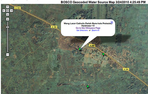
 Jokondino Okema of Pagak, working with students from Lacor, has begun to implement the water source mapping project. Each of the points on the map contains the results of a proof-of-concept water quality test, and a hyperlink to images and additional information about the water source. Students and teachers use GPS units to obtain longitude and latitude information. The location and water quality data are entered into a Google form embedded in a wiki page, which is automatically mapped each evening through mapalist.com. This technology is teacher-friendly: the hope is that teachers will be able to create their own mapping projects using this same technology.
0 comments:
Subscribe to:
Post Comments (Atom)


